- GBColoring.com
- »
- US Map Coloring Pages
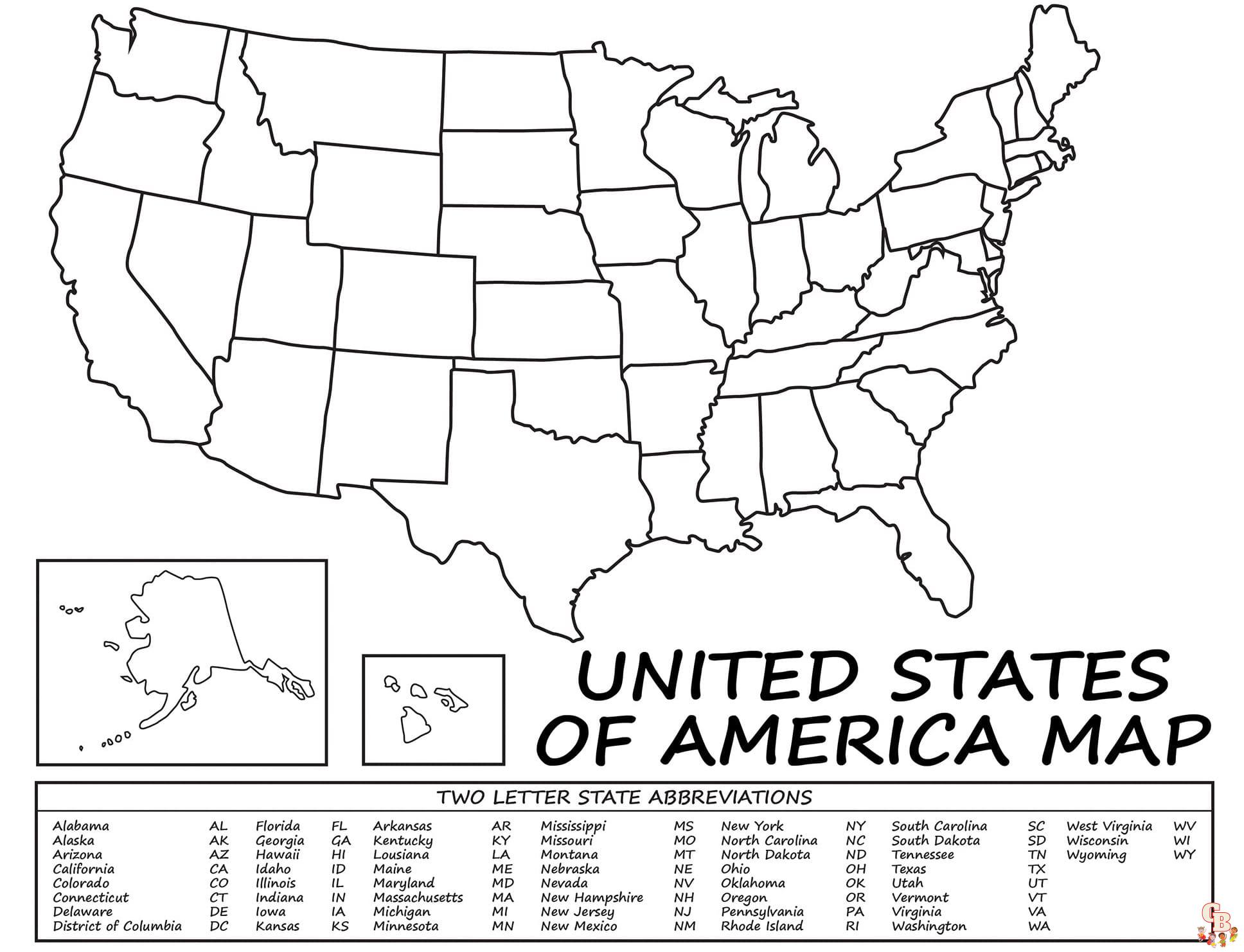
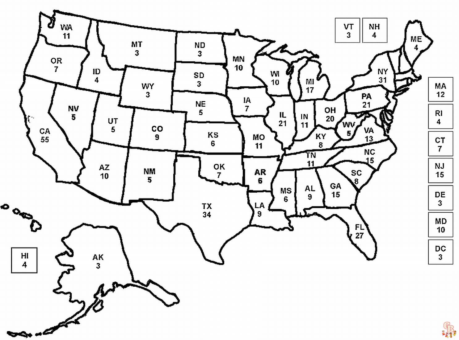
US Map Coloring Pages

Welcome to our colorful corner of the internet where US Map Coloring Pages bring learning and creativity together in a vibrant way! At US Map Coloring Pages, we specialize in providing an array of free printable US map coloring pages that are not only fun and easy to color but also educational. These coloring pages simple and clear, are perfect for children of all ages looking to explore the vast geography of the United States from the comfort of their home.
Why Choose US Map Coloring Pages?
Coloring is a fantastic way for children to develop fine motor skills, improve focus, and enhance their creativity. When coloring pages that are both educational and fun, like our US Map coloring pages, kids also learn about geography and state locations, making it a multidimensional learning experience. Whether you are a parent, teacher, or homeschooler, these color pages printable are excellent resources for teaching children about the different states and their unique aspects.
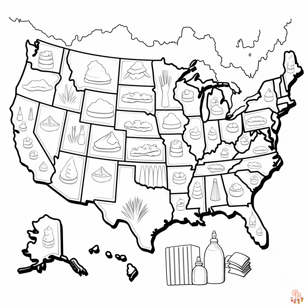
Top 10 Creative US Map Coloring Page Themes
To make learning about the U.S. more exciting and interactive, we have devised ten themed coloring ideas that will captivate any young learner:
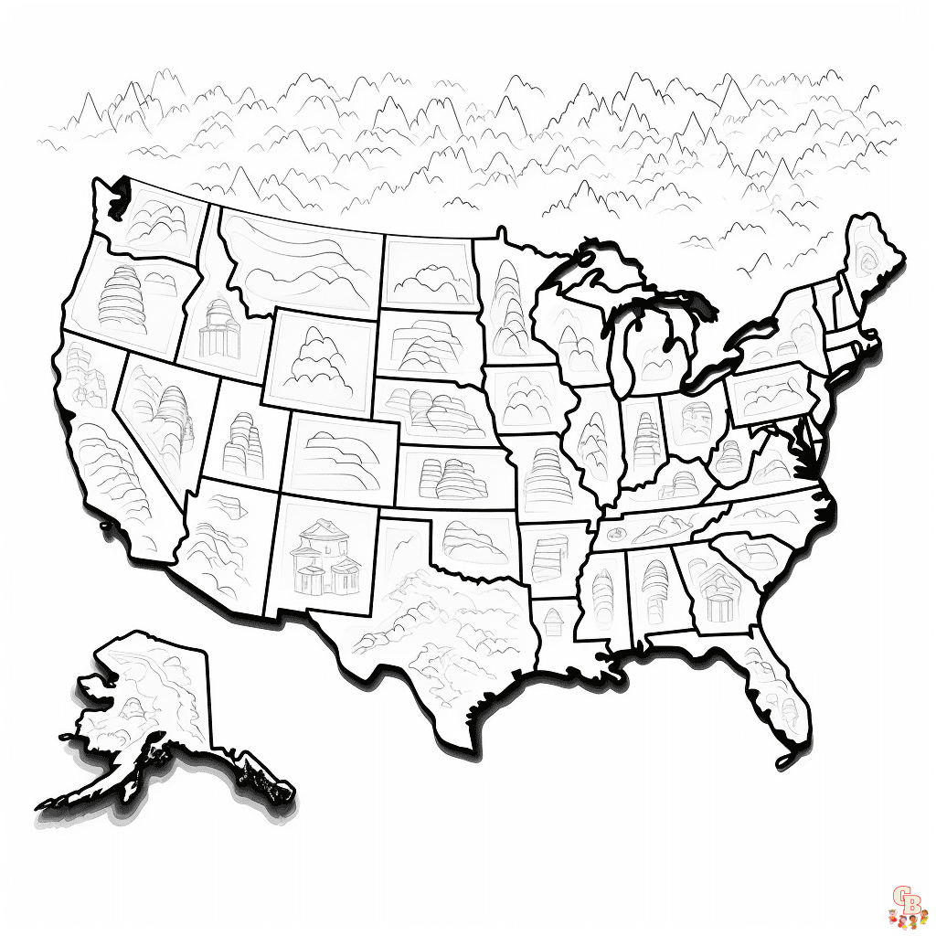
Historical US Map: Features historical landmarks and facts about when each state joined the Union.
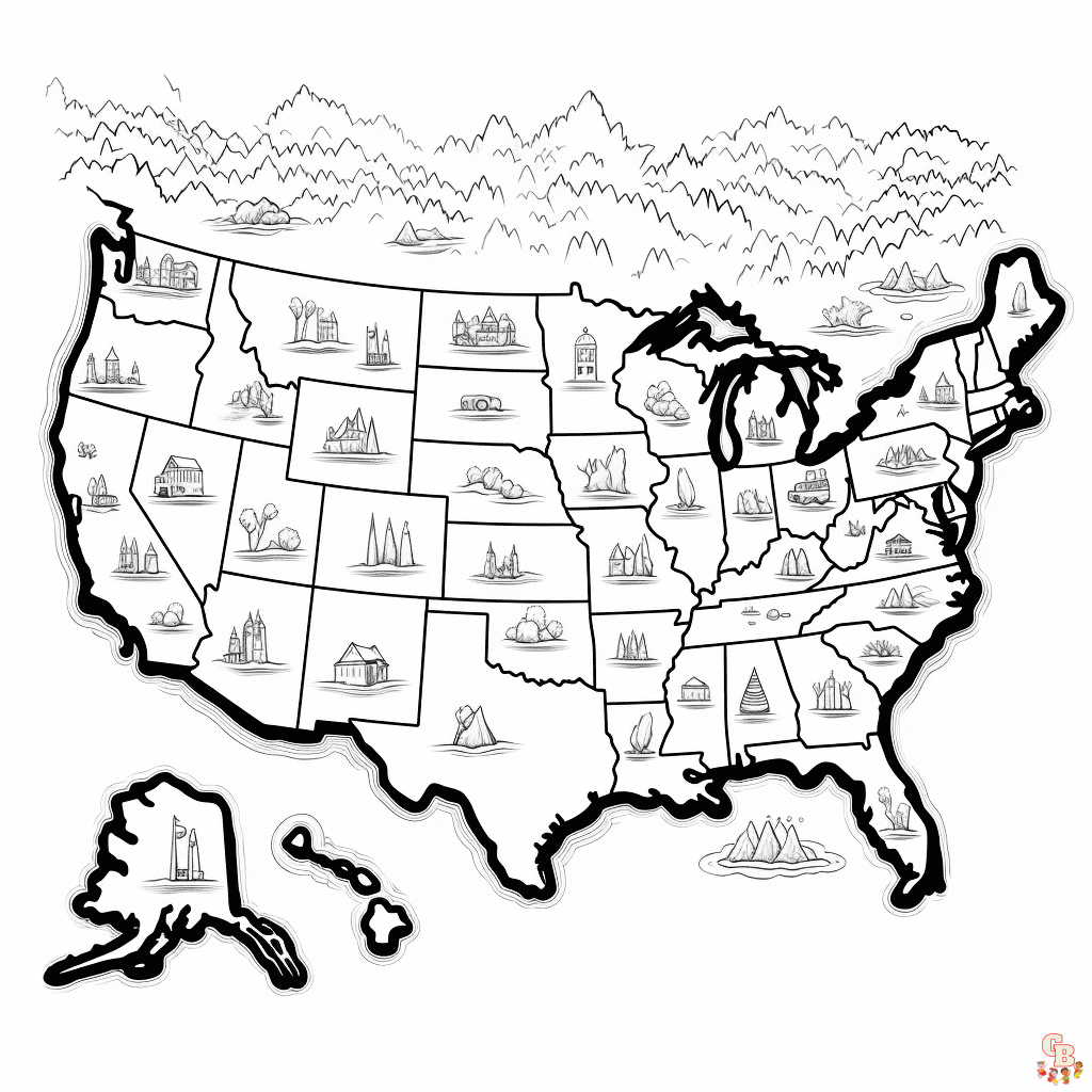
State Flower and Bird: Each state is represented with its official flower and bird, making it a colorful natural journey.
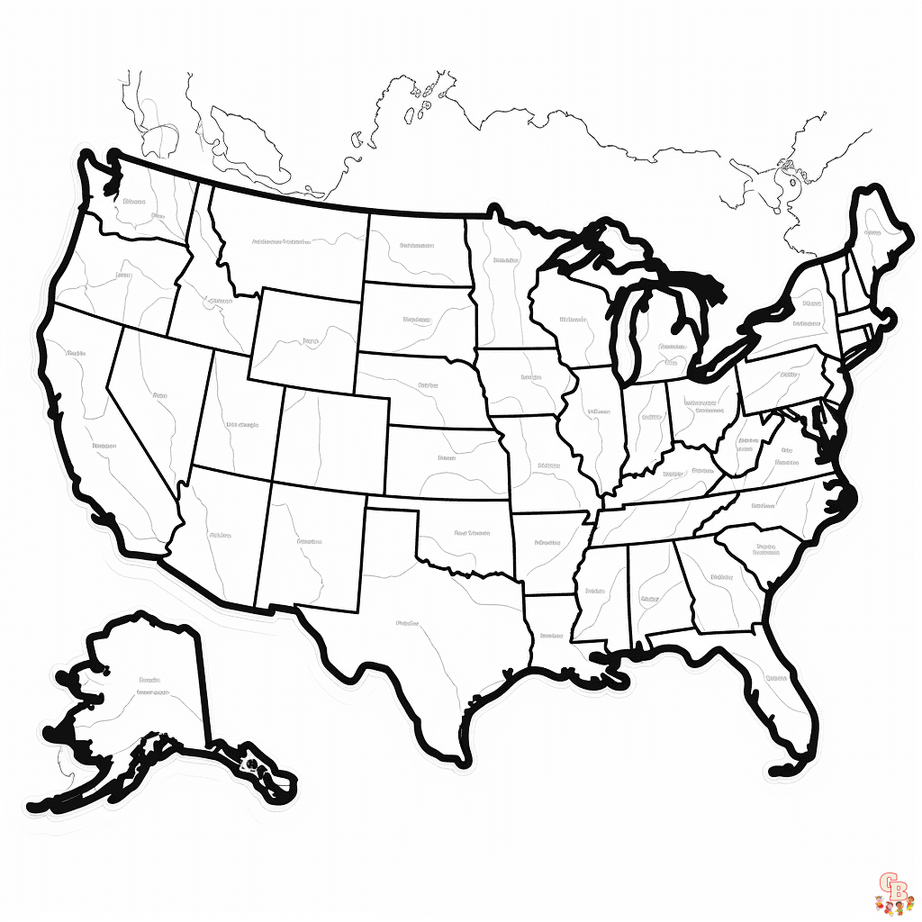
Major Cities Map: Highlights major cities in each state for a more urban exploration.
Famous Landmarks: From the Statue of Liberty in New York to the Golden Gate Bridge in California, showcase the iconic landmarks.
Rivers and Lakes Map: Focus on the major waterways and bodies of water that shape the geography of the U.S.
National Parks Edition: Feature famous national parks located in various states.
Climate Zones Map: Color the U.S. based on different climate zones, using a color code to indicate varying climates.
Cultural Festivals Map: Highlight states known for specific cultural festivals and events.
Agricultural Products Map: Show what agricultural products are predominant in each state.
Sports Teams Map: Decorate the map with the logos or mascots of major sports teams from each state.
How to Color Your US Map Pages
Here are some thoughts on how to make your coloring lessons the most fun and educational:
Putting colors together: Using the same color scheme will make it easier for kids to find information or themes that are similar, like temperature zones or state birds.
Look into it together: Find some fun facts about each state before you start drawing. Then, as you color, you can talk about them. This makes people curious and helps them learn.
Mediums to Mix: For different effects and textures, don’t be afraid to mix different art supplies like crayons, markers, and colored pencils.
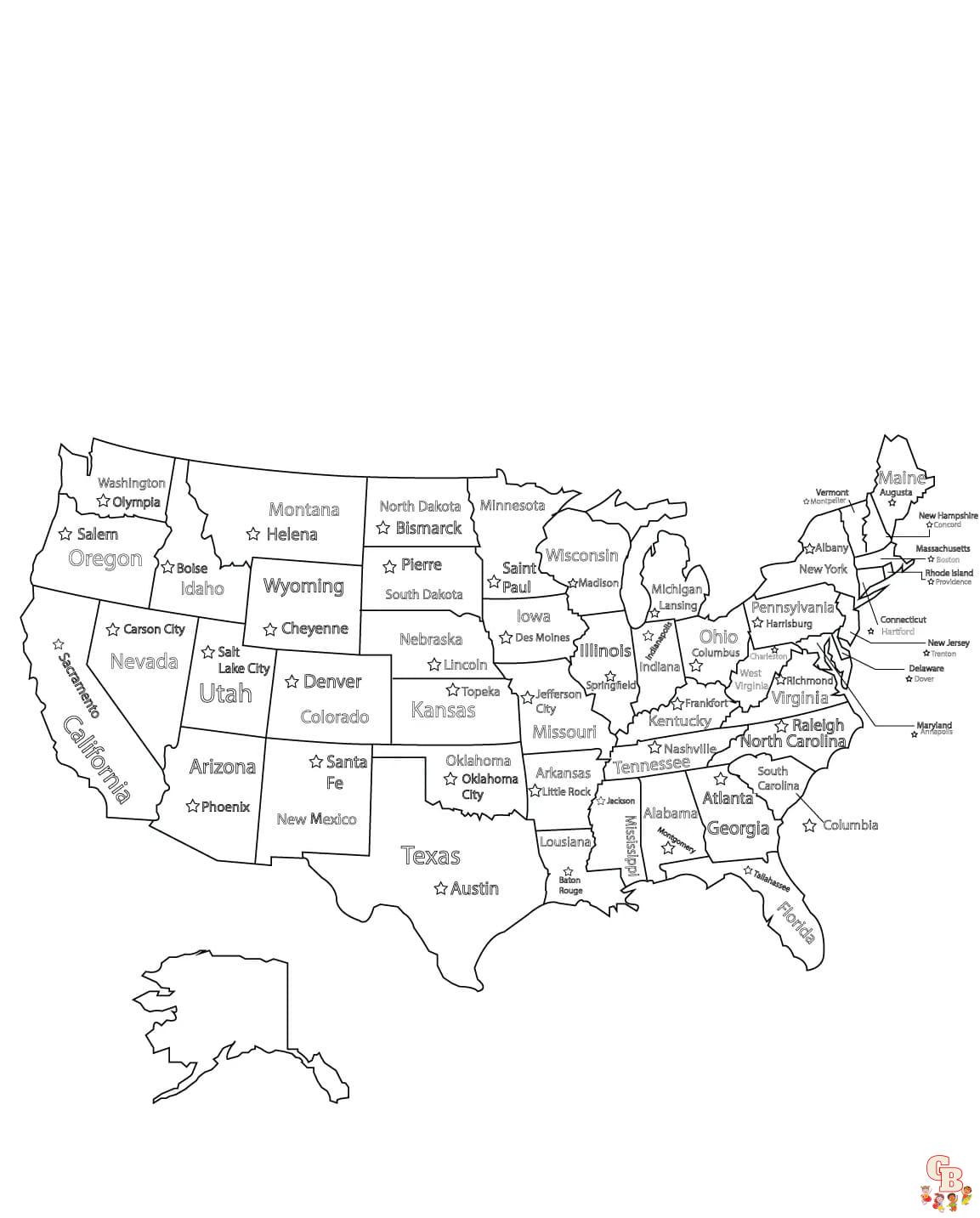
Fun with Labels: To help kids remember and learn about geography, have them name capitals, major rivers, and cities as they color.
Free Printable Coloring Pages: Easy Access for Everyone
Our color pages printable are designed to be simple, educational, and accessible. They are absolutely free and can be printed right from any home printer, making it easy to start a geography lesson or a coloring activity at any time. This accessibility ensures that parents and educators can provide a fun learning tool without any hassle.
A Thank You from US Map Coloring Pages
Thank you for choosing our US Map Coloring Pages. We hope that they bring joy and knowledge into your coloring activities. We’re thrilled to provide these resources for free and take pride in knowing that our pages can help educate and entertain young minds.
We encourage you to share your colored maps with us and tell us about your learning adventures. Your feedback and experiences inspire us to keep creating and improving our coloring pages. Remember, every state you color is a step toward learning more about the wonderful world around us. Happy coloring, and here’s to many educational adventures ahead with our US Map Coloring Pages!


